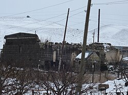
Hatsik, Shirak
40°50′51″N 43°52′27″E / 40.84750°N 43.87417°E / 40.84750; 43.87417
Place in Shirak, Armenia
Hatsik Հացիկ | |
|---|---|
 | |
  Hatsik 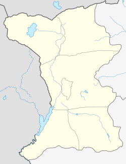 Hatsik | |
| Coordinates: 40°50′51″N 43°52′27″E / 40.84750°N 43.87417°E / 40.84750; 43.87417 | |
| Country | Armenia |
| Province | Shirak |
| Municipality | Akhuryan |
| Elevation | 1,650 m (5,410 ft) |
| Population (2011) | |
| • Total | 937 |
| Time zone | UTC+4 |
Hatsik (Armenian: Հացիկ) is a village in the Akhuryan Municipality of the Shirak Province of Armenia.
Demographics
Graphs are unavailable due to technical issues. There is more info on Phabricator and on MediaWiki.org. |
Natural conditions
The climate is temperate. Winters are long and cold. There are severe winds snow storms. The annual precipitation is about 500 to 600 mm (20 to 24 in). Blach tuff and coal reserves are in the area. The village is located 4.5 km (2.8 mi) northeast of the regional capital of Gyumri. It is 1,650 m (5,410 ft) above sea level. The lowest temperature of -25% to +35%. The village is in a seismic zone where earthquakes are frequent.[2]
References
- Hatsik, Shirak at GEOnet Names Server
- World Gazeteer: Armenia[dead link] – World-Gazetteer.com
- Report of the results of the 2001 Armenian Census, Statistical Committee of Armenia
- v
- t
- e
 Shirak Province
Capital: Gyumri

 | This article about a location in Shirak Province, Armenia is a stub. You can help Wikipedia by expanding it. |
- v
- t
- e


