Hopewell, Muskingum County, Ohio
Unincorporated community in Ohio, U.S.
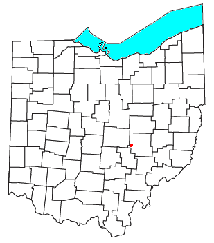
Hopewell is an unincorporated community in central Hopewell Township, Muskingum County, Ohio, United States.[1]
The community is situated on U.S. Route 40, about a half mile north of Interstate 70, and about nine miles west of Zanesville at 39°57'21" north latitude, 82°10'15" west longitude. The ZIP code is 43746; the FIPS place code is 36358; and the elevation 1100 feet above sea level.
Hopewell had its start when the National Road was extended to that point.[2] The community takes its name from Hopewell Township.[3] A post office called Hopewell was established in 1830.[4] The post office was moved to nearby Mount Sterling at an unknown date where it retained the name Hopewell.[5] By 1833, Hopewell had 75 inhabitants.[6]
References
- ^ U.S. Geological Survey Geographic Names Information System: Hopewell, Muskingum County, Ohio
- ^ Everhart, F.J. (1882). 1794. History of Muskingum County, Ohio, with illustrations and biographical sketches of prominent men and pioneers. F.J. Everhart & Co. p. 412.
- ^ Overman, William Daniel (1958). Ohio Town Names. Akron, OH: Atlantic Press. p. 62.
- ^ "Muskingum County". Jim Forte Postal History. Retrieved January 5, 2016.
- ^ Biographical and Historical Memoirs of Muskingum County, Ohio. Goodspeed Publishing Company. 1892. p. 330.
- ^ Kilbourn, John (1833). The Ohio Gazetteer, or, a Topographical Dictionary. Scott and Wright. pp. 243. Retrieved December 12, 2013.
- v
- t
- e
Municipalities and communities of Muskingum County, Ohio, United States
County seat: Zanesville
- Zanesville

- Adamsville
- Dresden
- Frazeysburg
- Fultonham
- Gratiot‡
- New Concord
- Norwich
- Philo
- Roseville‡
- South Zanesville
communities
- Adams Mills
- Bloomfield
- Blue Rock
- Bridgeville
- Cannelville
- Chandlersville
- Coal Hill
- Cottage Hill
- Darlington
- Dillon Falls
- Ellis
- Freeland
- Gaysport
- Gilbert
- High Hill
- Hopewell
- Ironspot
- Irville
- Licking View
- Marquand Mills
- Mattingly Settlement
- Meadow Farm
- Mount Sterling
- Moxahala Park
- Museville
- Otsego
- Rix Mills
- Ruraldale
- Sonora
- Spratt
- Stovertown
- Sundale
- White Cottage
- Young Hickory
- Zeno
‡This populated place also has portions in an adjacent county or counties
- Ohio portal
- United States portal
39°57′20″N 82°10′15″W / 39.95556°N 82.17083°W / 39.95556; -82.17083


