Saudehornet

Saudehornet
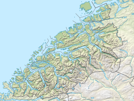
Location of the mountain
Show map of Møre og Romsdal
Saudehornet
Saudehornet (Norway)
Show map of NorwaySaudehornet or Sauehornet is a mountain that is located 3 kilometres (1.9 mi) north of the village of Ørsta in the municipality of Ørsta, Møre og Romsdal, Norway. The 1,303-metre (4,275 ft) is a very popular, though steep, destination for skiing in the Sunnmørsalpene range. It is located just north of the European route E39 highway, about 5 kilometres (3.1 mi) north of the Ørsta–Volda Airport, Hovden, and about 7 kilometres (4.3 mi) south of the village of Vartdal.[3]

See also
References
External links
- Annual autumn race (running) from Ørsta to the summit
- X2 - Ski festival; race up/down Saudahornet and free-riding competition
- Route
- ski: Saudehornet
- Panorama from Saudehornet at Leif Roar Strand's website
- v
- t
- e


