Umiasussuk
Mountain in Greenland

Umiasussuk
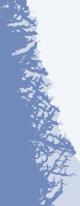
Umiasussuk (old spelling: Umiasugssuk) is a 620 m (2,030 ft)[1] mountain in Avannaata municipality in northwestern Greenland, located in the northern part of Qaarsorsuaq Island in the Upernavik Archipelago. The name of the mountain means "a boat-shaped mountain" in the Greenlandic language.
Geography

Umiasussuk is a standalone mountain, a flooded peak, whose trapezoid shape is the landmark of Upernavik town, visible from the Upernavik Airport 7 km (23,000 ft) away, and from the entire eastern and northern coast of Upernavik Island.
Via a small isthmus in the east, the mountain is connected with the remainder of the large Qaarsorsuaq Island.[1] To the north, the Torsuut strait separates the mountain from Atilissuaq Island. To the west, the low Akia Island separates the mountain from Upernavik Island.
References
Wikimedia Commons has media related to Umiasussuk.
- ^ a b c Upernavik, Saga Map, Tage Schjøtt, 1992
- v
- t
- e
- Alison
- Baffin
- Inussulik
- Melville
- Qeqertaussap Iterlaa
- Sugar Loaf
- Tasiusaq
- Eqalugaarsuit
- Kangerluarsuk
- Kangerlussuaq (Kangeq Peninsula)
- Kangerlussuaq Icefjord
- Nasaussap Saqqaa
- Nuussuup Kangia
- Saqqarsuaq
- Sullua
- Upernavik Icefjord
- Alanngorsuup Sermia
- Cornell
- Giesecke
- Hayes
- Illullip Sermia
- Kjer
- Nunatakassaup Sermia
- Nunatakassaup Sermia (Tasiusaq Bay)
- Upernavik
| Melville Bay | |
|---|---|
| Inussulik Bay | |
| Sugar Loaf Bay |
|
| Tasiusaq Bay |
|
| Baffin Bay |
|
- Akullikassaq
- Anoritooq
- Devil's Thumb
- Inalugartuut
- Inngik
- Iviannernat
- Kangerluarsuup Qaqqarsua
- Kingittoq
- Kissavaussaq
- Kunngutip Qaqqaa
- Naajannguaq
- Naalungiussaq
- Najaarsuit Qaqqat
- Niaqornarsuaq
- Nunatakassak
- Nunatarsuaq
- Nunatarsuaq (Tasiusaq Bay)
- Nuniaat Qaqqarsua
- Orsugissap Qaqqarsua
- Paatuup Qaqqaa
- Qaqqasunnarsuaq
- Qassersuit
- Saattup Akia
- Sandersons Hope
- Toornaarsuttoq
- Tunullersuaq
- Tuttulikassak
- Umiasussuk
- Wandel Land


